Showing posts with label woodlands. Show all posts

Monday, 20 July 2015

Glenbranter

Looking back on the trips my mum and I took in 2014 one thing is very clear, the weather was much nicer! This year, while the rest of Europe has been suffering a heatwave, Scotland has been consistently dreich. To accommodate the weather we have had to change our usual summer days of open hill walks, beachside strolls and island hopping to more sheltered trips.  Today we dressed up in our waterproof trousers and set off on a woodland walk at Glenbranter.


This walk can be as long or short as you like with numerous paths that intertwine, all guided by coloured posts. We decided on the path which leads past the waterfalls and takes in some views of the surrounding mountains. I didn't know much about this walk prior to setting off (we only really decided on it when we were driving by) but was impressed with the interesting, twisting paths and waterfalls which get bigger with every turn.


There is a signpost to Glenbranter from the main road and a carpark with rangers centre and toilets so perfect for an easy family walk, even in the rain.


 The Facts on Glenbranter:

  • We started from the events car park just past the rangers centre. 
  • There are also toilets at the rangers centre.
  • Walking at a leisurely pace this walk took us just over an hour. 
  • Each walk is different but the distance for the route we chose was around 4km.
  • Difficult points: Some bits were slightly muddy but it was raining when we were there. Nothing too tricky!
  • Wear: Weather appropriate clothing. No need for specialist clothes.
  • Perfect for anyone, from dogwalkers and families to cyclists (there is a longer cycle path here too).

If you're looking for some more information on Glenbranter I'd recommend this page. 

Wednesday, 28 January 2015

Signal Rock


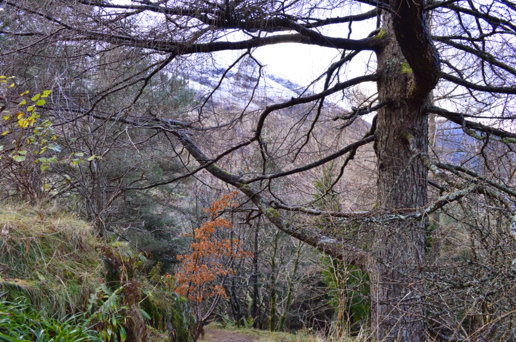
Shortly before Christmas my mum and I decided to head North in search of snow. If you want snow in Scotland without going too far I recommend heading to Glencoe; to me it feels like a gateway to the Highlands. Once there we definitely found plenty of snow (and even a little snowman!) but we also managed a short walk away from the main road.
Just off the road through Glencoe on the right hand side (when heading North) is a car park with a plaque for An Torr. On this it shows a few trails through the woodlands in the middle of the Glen. Due to sunset coming on soon we decided to take the short walk to Signal Rock. Although it was freezing near the mountains, in the woodland it was much more sheltered. This short walk ambled over a wooden bridge with posts and signs leading the way to the rock.
On the wander up my mum told me the story of how the rock got its name. Signal Rock marks the site the order was given by the Campbell clan to massacre the MacDonalds that lived in Glencoe. The facts of this are disputed but it does give you something to think about on the wander through the mountains and woods.
Once at Signal Rock you can walk round it and up to the top where you can see mountains all around. Due to the trees having lost there leaves for Winter this view was a lot clearer than it may be in the warmer months.
I think this is a great short walk for the middle of winter when you want to stretch your legs but not get frostbite. You can even make a snowman on your way!
Further Reading:
Some other details on Signal Rock and walks in the area can be found here.

Sunday, 19 October 2014

A Short Walk to Tea

Some Sundays are for long, exploring walks but this week we decided on a more relaxed route to take in the Autumnal scenary and possibly even stop in for some cake. This shorter walk would be great if you don`t feel like going far, or just fancy a leaisurly stroll on a colder day. It starts from the main car park as you enter Tarbet, on the banks of Loch Lomond. This car park is the starting point for ferry trips on the Loch and provides beautiful views across to Ben Lomond.
Exit the car park across from the hotel and continue to the right. Walk along the pavement which crosses several burns. At one point we had to walk on the side of the road as the pavement stopped. The road is a busy one with it being the main route to Fort William so take care! We crossed the road to the left hand side which had more of a path and continued a short stretch until there was a path that led up to the wood.
Across from the path you can see Tarbet Isle and stunning views of Loch Lomond. We stopped here for a bit to admire these views and noticed that there had been a campfire recently. It`s amazing that such a peaceful spot can be found so close to a main road.

Back across the road we followed the trail into the woods. This gentle up and down path led us through ferns and trees, coming out at the Bonnie Braes tearoom. Through the wood you can catch glimpses of the loch and the mountains around.
Reward yourself for being half way through the walk with a nice hot chocolate and a wee nibble at the tearoom! Unfortunately, on the day we went it was closed (but thankfully my mum brought a back up chocolate bar for us!)
On the way back, take the right hand route through the wood which gently climbs. This path takes you through some ferns and provides a nice view of the Loch on the wander back. I do love a circular walk!

This gentle woodland trail is perfect for all weather types and I can imagine it providing beautiful views whatever the season. Also, a warming cup of something nice half way through a trip is a rare treat!
The Facts on this Walk:
  • Starting point is from the car park as you enter Tarbet, on the banks of Loch Lomond. Parking is free.
  • Nearest public toilets are in the snack shop in the car park, which are also free.
  • This walk took around 1hour- 1hr 30mins. May take longer if you order cake.
  • Distance is 5km/ 3miles
  • Difficult points: Generally easy walk, but I did slip on the grass at the car park so you never know what you`ll find hard... Also, be careful when walking along the road.
  • Wear: weather appropriate clothing, may be a bit muddy in the wood.
  • Perfect for those who want a gentle walk with rewarding views and a slice of cake!

Tuesday, 8 July 2014

Inversnaid and Rob Roy's Cave

 
Inversnaid is situated on a much quieter bank of Loch Lomond, near to the top of the Loch on the East Side. To get there we drove from Aberfoyle which took around 30minutes as the road is single track with regular passing places. It was a beautiful day, with dramatic clouds and heat still in the air. The road passes a few smaller lochs on the way as well as farmer's fields filled with horses and Highland cows.


At Inversnaid there is a large hotel with a few rowing boats tied up on the Loch. To the left of the car park there is a waterfall and some picnic benches looking out over the water. There is also a restaurant in the hotel if the walk makes you peckish. The way to Rob Roy's cave starts from the right hand side of the car park and takes in part of the West Highland Way (WHW). We followed the single path through some woodland until we shortly got to a metal boathouse with a small peebly beach. There were  some remains of a fire when we got there and I imagine it being a good stop for a BBQ on a lazy, warm day.


We continued the route to the back of the boathouse and up a grassy path. Along from this we followed the RSPB trail, rather than the WHW. If you were looking for an easier route follow the West Highland Way sign. The RSPB trail involves a bit more of a climb up a steep grassy hill and through some very tall ferns, which made me feel 6 years old again, but once at the top there are some lovely views over the Loch and of the surrounding hills.

The path continues down the hill and we kept heading right, to the North of Loch Lomond. The path becomes more rocky at this point before getting to the wooden signpost for Rob Roy's Cave. Here the rocks become boulders and my hands got involved in the scrambling. I'll be honest, we didn't actually make it right to the cave but we did see the white painted word "CAVE" on one of the rocks! Getting to the cave involves climbing over a few large rocks and we decided it would be nicer to sit by the water and take in the view (while having a well deserved chocolate based snack). It was really peaceful and except from the odd boat passing it felt like we were alone on the banks of the Loch. On the way back we took the lower woodland route to make the walk more circular. Despite not being a long walk I felt refreshed on getting back to the car. I think this is a good walk for everyone and a nice way to see Loch Lomond without the tourists of Balmaha and Conic Hill.


 The Facts on walking to Rob Roy's Cave:
  • Starting point is at Inversnaid car park.
  • Closest free toilets we went to were in Aberfoyle, but I'm sure Inversnaid hotel have some too.
  • Walk is around 2 miles and takes about 1hr 20mins if leisurely strolling.
  • Difficult points- steep grassy climb after the RSPB sign and scrambling to the cave after the Rob Roy Cave signpost.
  • Wear- Waterproof clothes if it is wet and shoes you can scramble and climb in. Clothes you don't mind getting muddy.
  • Perfect for anyone who enjoys woodland walks, Loch Lomond, scrambling to caves and a bit of Scottish history.